 Image 1 of 3
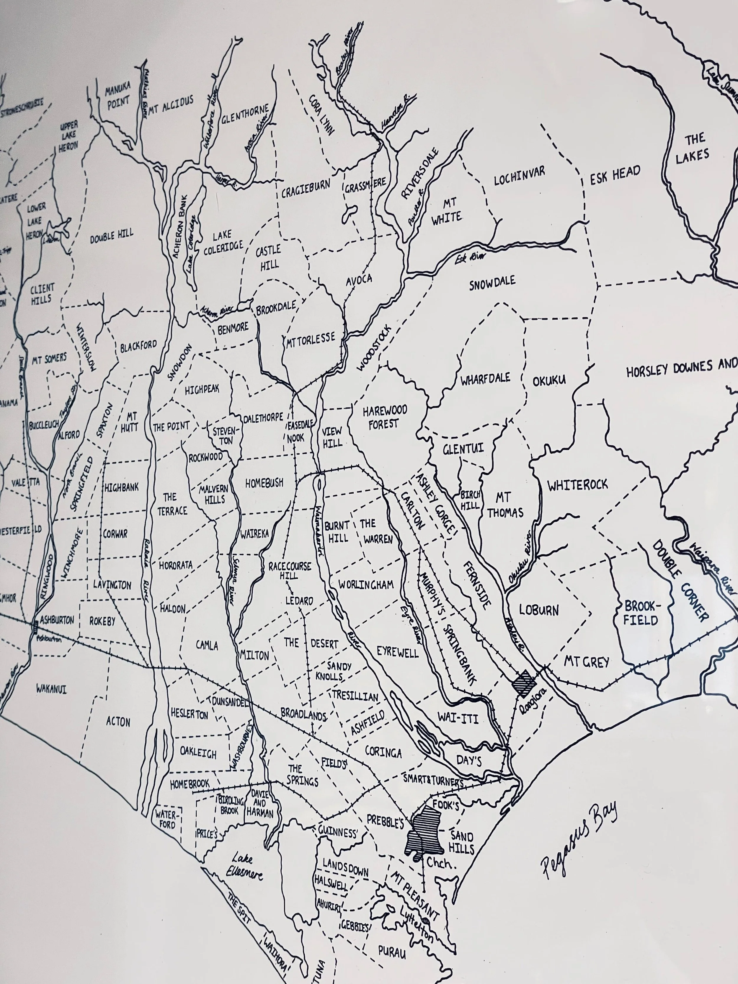 Image 2 of 3
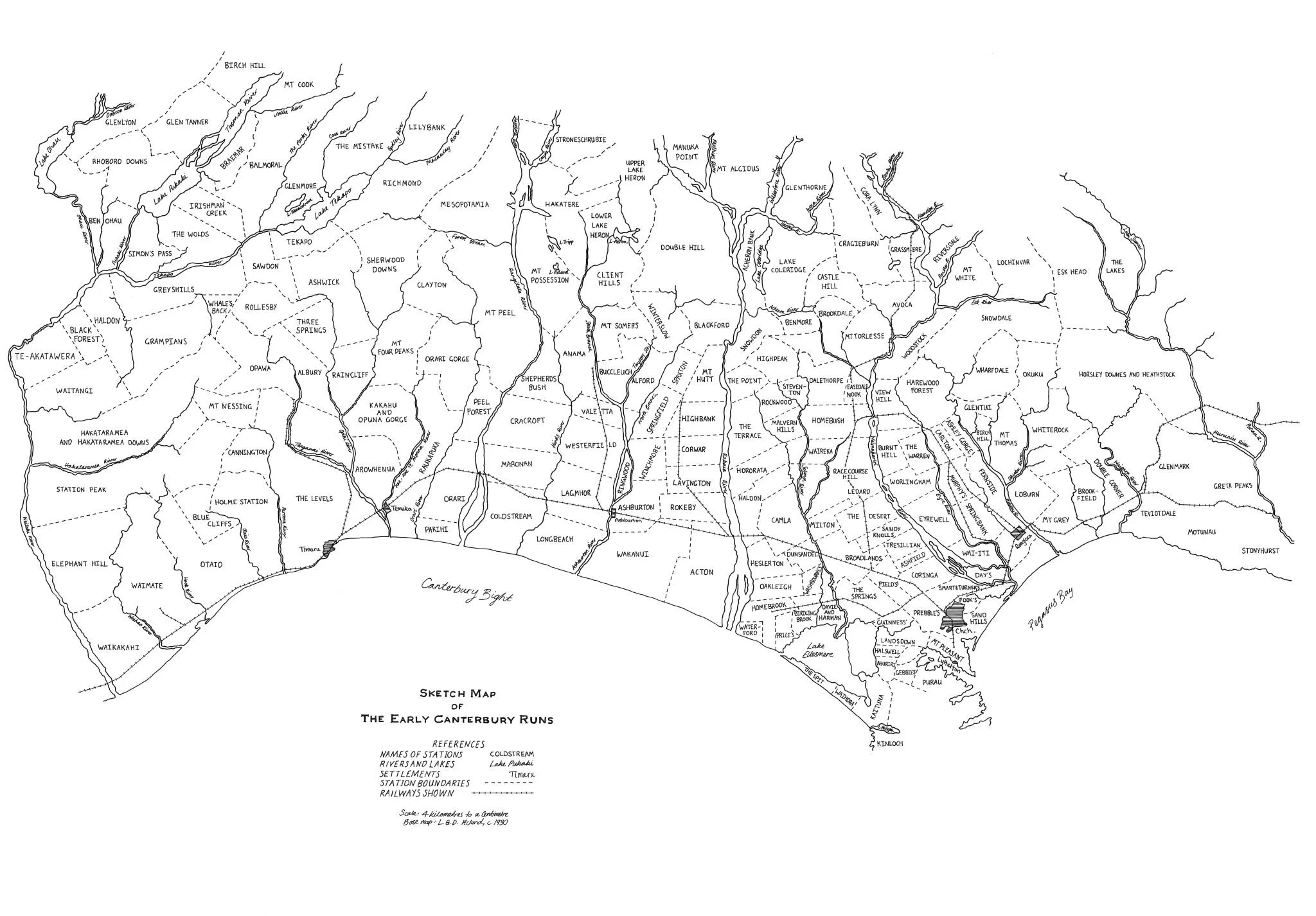 Image 3 of 3
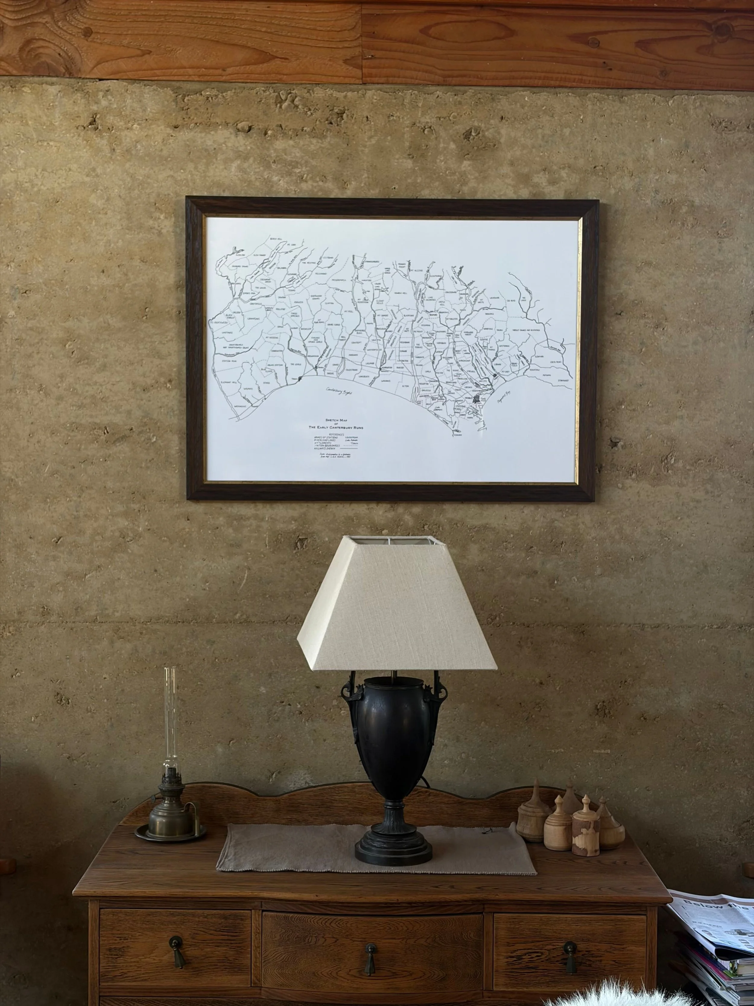
Print of a hand-drawn map of Canterbury's early pastoral runs, illustrated from historical station boundaries and finished with a warm, aged character. Each map is prepared individually, then finished to your choice of size and staining.
Print of a hand-drawn map of Canterbury's early pastoral runs, illustrated from historical station boundaries and finished with a warm, aged character. Each map is prepared individually, then finished to your choice of size and staining.