Custom Farm Mapping
Guided by real geography and a hand-drawn line, The Boundary Co. turns satellite and aerial imagery into maps that read like artwork, not survey plans.
Each piece is drawn individually, boundary by boundary, so what arrives is a true record of your own land — not a template with your address dropped in.
Get a FREE QUOTE HERE
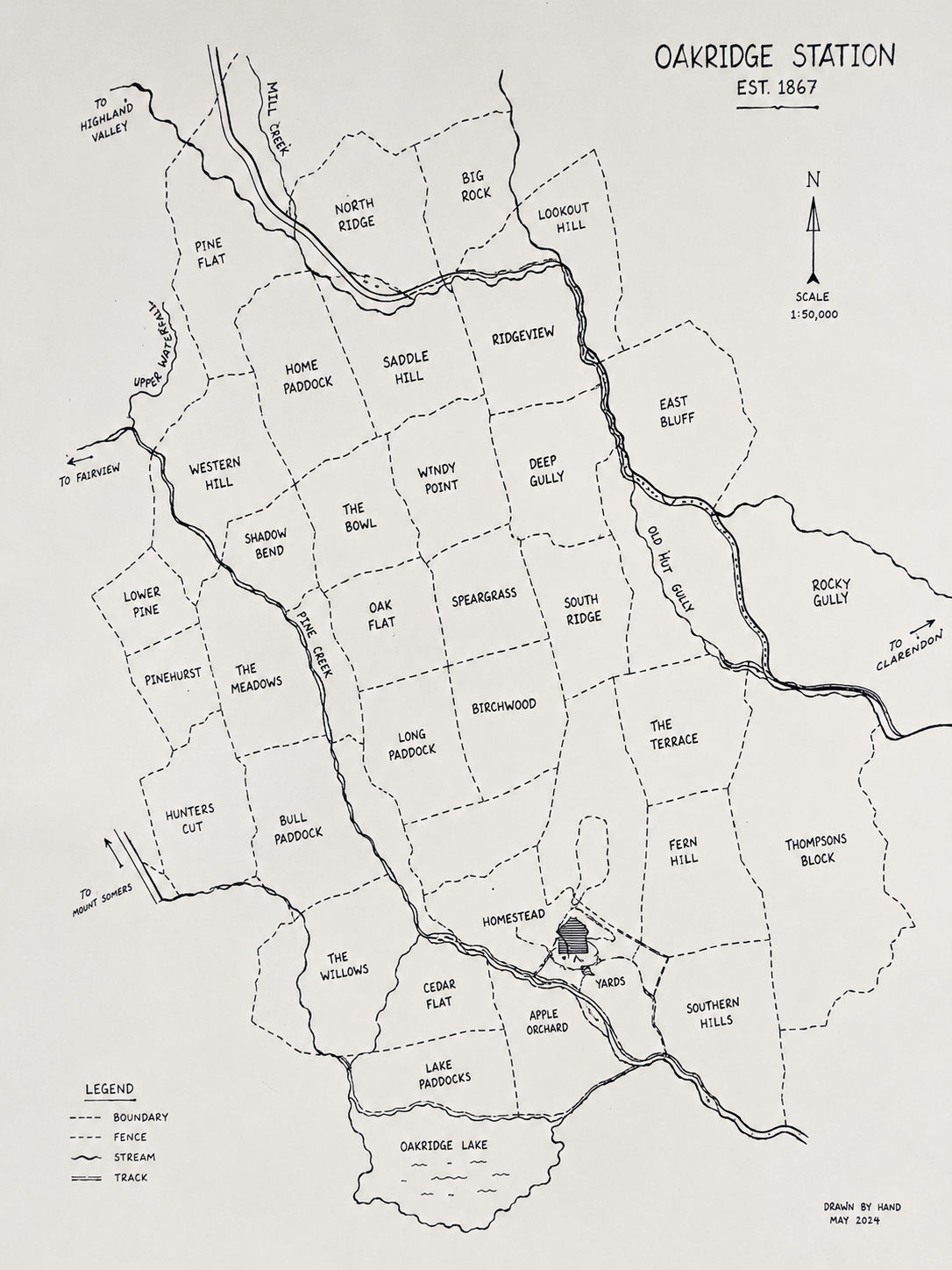
Drawn to your property
Every paddock, nook and cranny comes from your own property - paddock names, creeks, buildings, even the spot where the old man put the ute in the ditch. Tell us what you’d like included, and we’ll add it, along with a title and key, so your guests and generations to come can actually work out what they’re looking at.
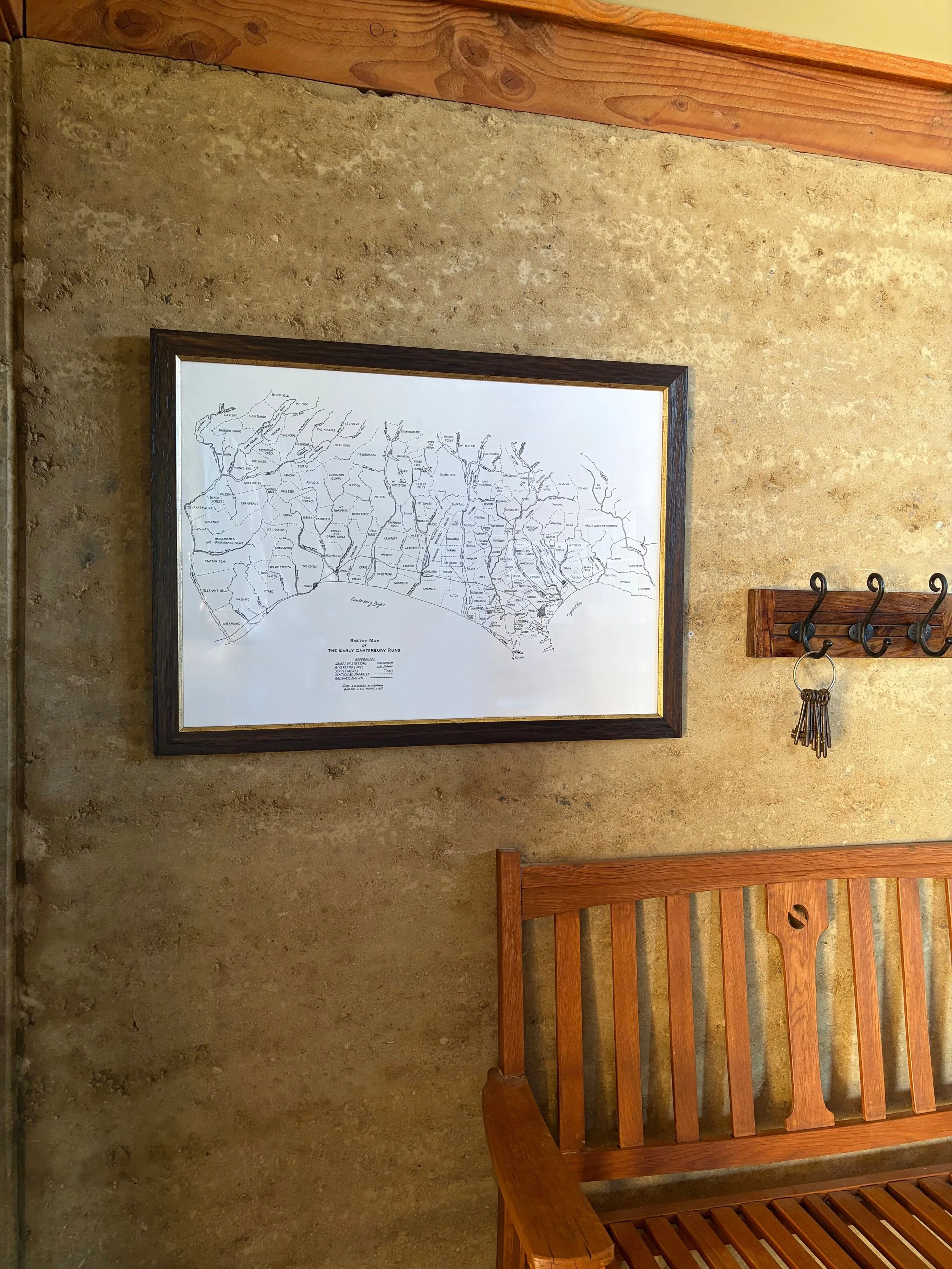
Centrepiece of your farm
Delivered either as a print or a finished piece framed by framefox.co.nz - it is ready to be displayed in the woolshed, farm office or front and centre in the lounge.
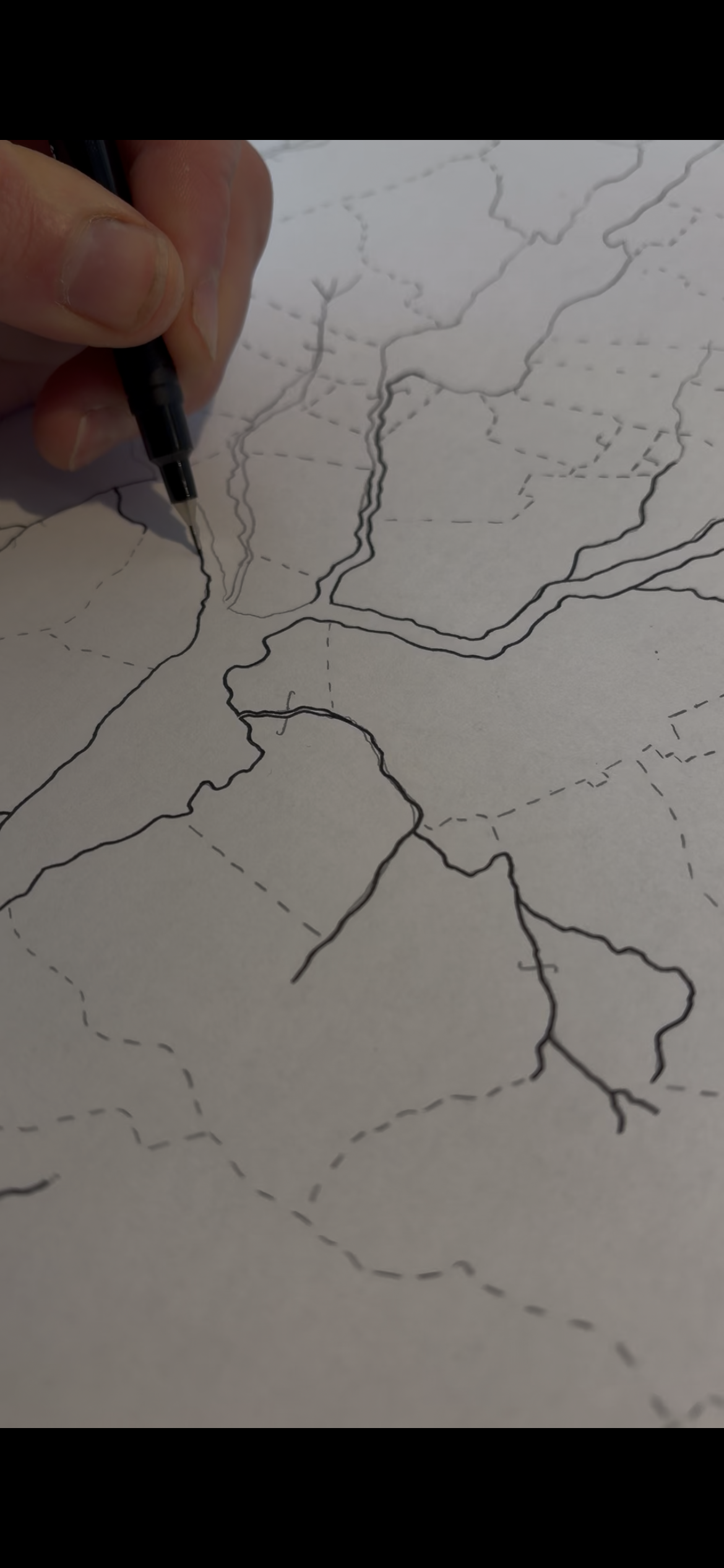
Hand-drawn
Every boundary is drawn by hand, line by line. We start from real aerial and satellite imagery, then trace over your fence lines to get every boundary right - first in pencil, then finished in fine-tip pen for a crisp, clean line that scans and prints beautifully.