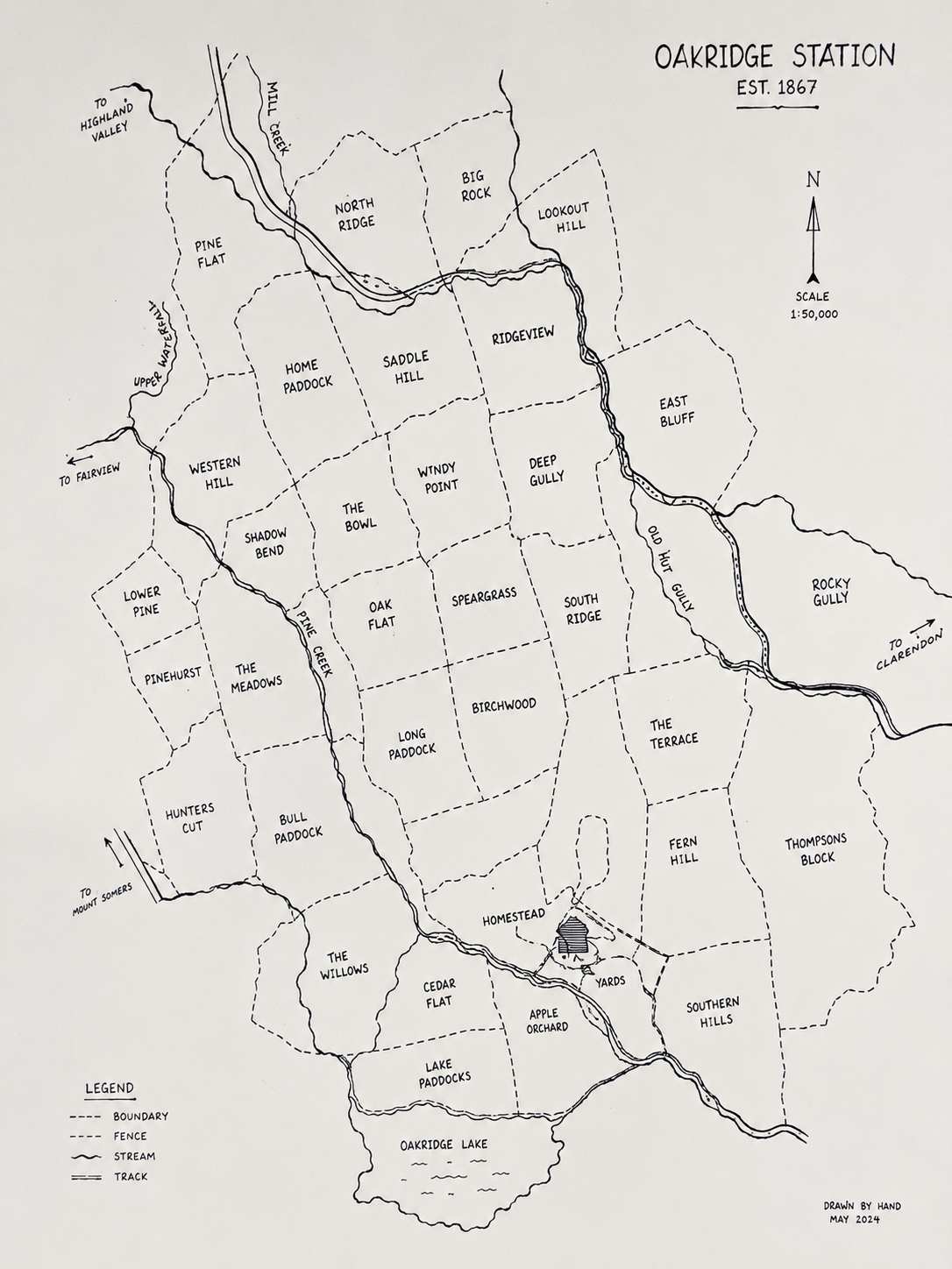
Every farm has a story…
Historic Map Prints
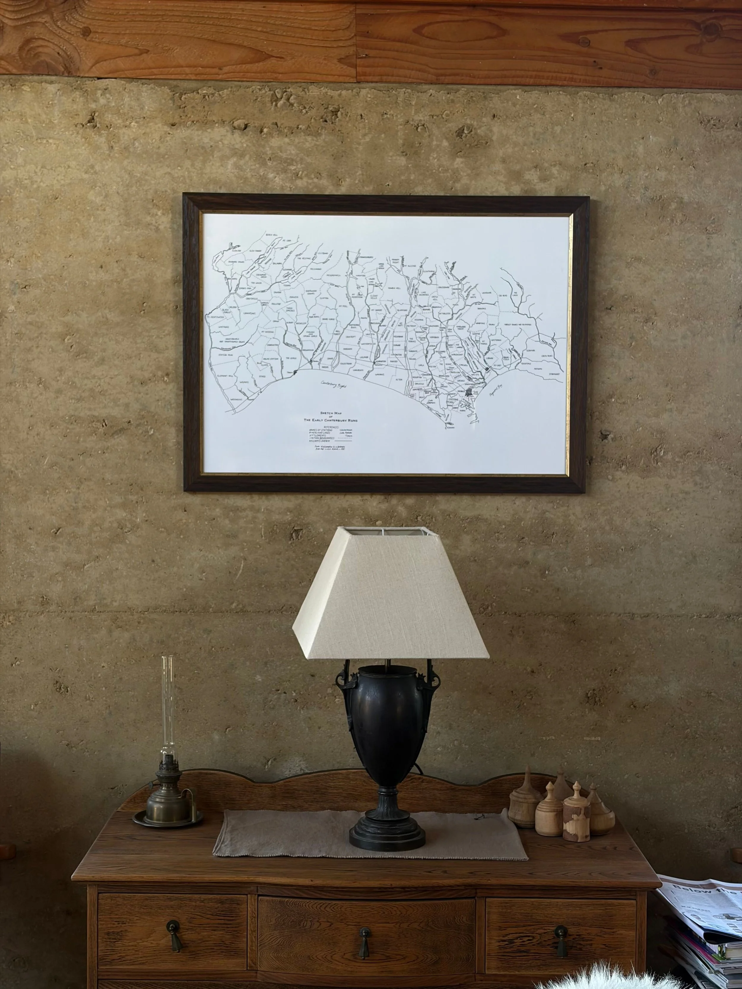
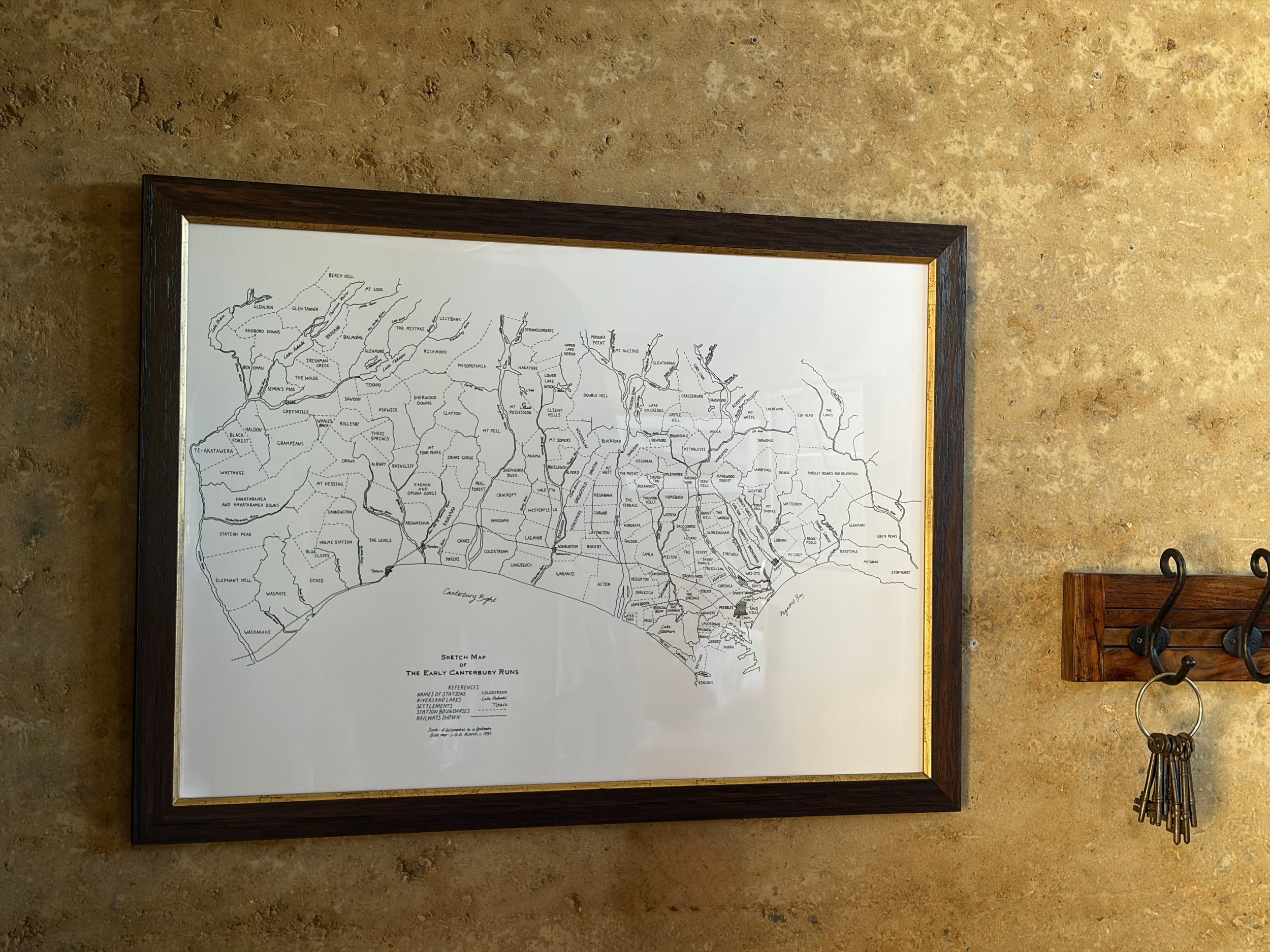
Print of a hand-drawn map of Canterbury's early pastoral runs, illustrated from historical station boundaries and finished with a warm, aged character. Each map is prepared individually, then finished to your choice of size and staining.
Custom Mapping
Your farm mapped
A custom map turns your own boundary lines into something worth hanging on the wall — every paddock, boundary, and feature drawn from your real farm, not a generic template.
We trace the actual geography from aerial and satellite imagery, then hand-draw it in pencil and fine-tip pen, the same style as the print collection, so it ends up looking like artwork rather than a survey plan. Add the details that make it yours — paddock names, creeks, the old shed — and we'll finish it with a title and key so anyone looking at it can work out what they're seeing.
Pricing is individually quoted, based on the size of your property and how much detail you'd like included.